

- This event has passed.
Deep Mapping // Charleston’s New History
October 1 @ 6:00 pm - 7:00 pm
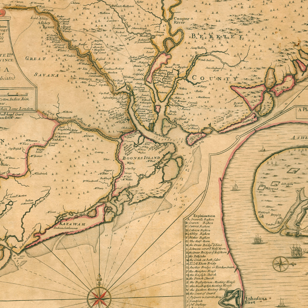
While not a term currently familiar to most, deep mapping is a rapidly growing field, and one of the most unique ways to engage a community in creating detailed, public-facing digital maps that integrate spatial, historical, cultural, and environmental data to tell the full and broader story of a place and its people. Over the last year and a half, a small group from Charleston has initiated this process for the Lowcountry, working closely with Don Lafreniere, Director of the Community Deep Mapping Institute at Michigan Technological University, and James Newhard, Director of the Center for Historical Landscapes. Join Don and James, along with Doug Rivet, Assistant Professor of Political Science at the College of Charleston, and CLS Director of Development Jen Comer for a riveting discussion about what has already been completed, the insights gleaned, and what we’ll see in the next phase of the project.
About Don Lafreniere
Dr. Don Lafreniere is Professor of Geography & GIS, Director of the Center for Geospatial Research and Technology, and Director of the Community Deep Mapping Institute at Michigan Technological University. He has led dozens of projects and published extensively on topics such GIS approaches to historic preservation, community resiliency, housing, and children’s health. He is an expert in GIS-based spatial data infrastructures to support economic development, heritage tourism, and preservation in post-industrial communities.
About James Newhard
James Newhard is Director of the Center for Historical Landscapes at the College of Charleston, where he co-directs the Spatial History of Charleston. A Registered Professional Archaeologist, his research focuses on landscape archaeology, archaeoinformatics, geospatial analysis, and the long-term histories of human-environmental systems. His work has included field and digital humanities projects in Greece, Turkey, Albania, the Ohio Valley, and the Carolina Lowcountry. At Charleston, he additionally has led projects involving historical GIS, spatial databases, and community-engaged approaches to documenting layered cultural landscapes. His current work with SHOC brings together deep mapping, public history, and community-centered approaches to improve access to Charleston’s dispersed historical records and to support descendant communities, preservation advocacy, and more equitable understandings of place.
About Doug Rivet
Douglas Rivet is Assistant Professor of Political Science and Director of the Urban and Regional Planner Certificate Program at the College of Charleston. As a geographer, his work is grounded in urban geography, city planning, and geospatial analysis. His research examines the relationships among urban environments, transportation systems, development, and rehabilitation, with particular focus on how built, social, and natural systems shape urban spaces over time. Drawing on experience in local government, GIS, property assessment, and policy, he brings applied urban expertise to historical and community-based spatial research. His work with the Spatial History of Charleston integrates historical cartography, GIS, deep mapping, and public-facing geospatial approaches to support interdisciplinary scholarship, planning, and public engagement.
About Jennifer Comer
Jennifer Comer, the Director of Development & Membership at the Charleston Library Society, will moderate the panel. Comer has ten years of experience in grant administration, having worked for the Morgan Library & Museum and Bloomberg Philanthropies, both based in New York City.